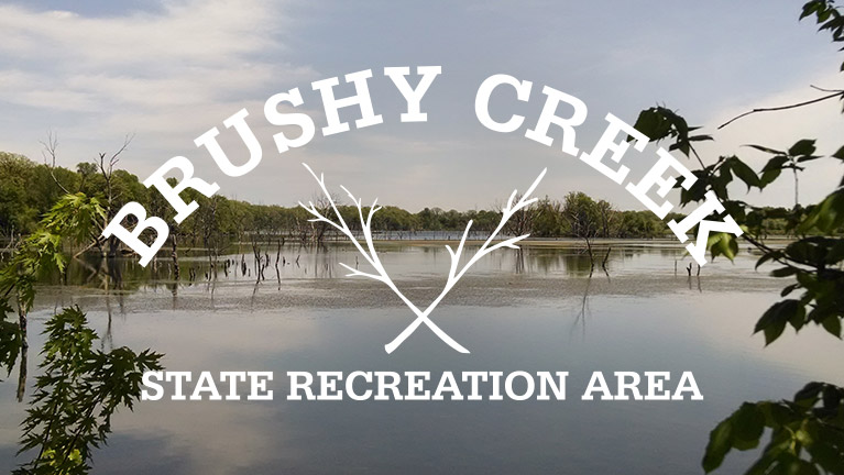
Brushy Creek State Recreation Area is one of Iowa’s largest public recreation areas. The varied terrain consists of flat prairies, river bottom lands, steep wooded valleys, streams, a 690 acre lake and access to the Des Moines River.
Brushy Creek State Recreation Area is best known for horseback riding, hunting and fishing. The multi-use trail system is extensive and open to horseback riding, hiking, snowmobiling, cross country skiing, and mountain biking. There are also two shooting ranges. One range is for target shooting and another is for throwing clay targets. You’ll also find plenty of camping at some of the most modern facilities in the state. There are two equestrian campgrounds and one non-equestrian campground.

The no wake lake has been engineered for fishing. There are multiple boat ramps, fishing jetties and underwater structures for fish. There is no shortage of water fowl on the lake creating excellent conditions for birding. A clean sand beach is available for swimming as well.
Campgrounds
For equestrian riders, you would be hard pressed to find better camping facilities in the state. There are two campgrounds that accommodate horses at Brushy Creek State Recreation Area. The North and South equestrian campgrounds have a combined total of 217 camping sites. Of those sites, 112 have electric hookups and the South equestrian campground has eight full water and sewer hookup sites. Each campground has modern shower/restroom facilities, horse wash areas, hitch rails, and riding arenas. You will also find water hydrants with drinking water, picnic tables, grills, and playgrounds.
The electrical sites in both campgrounds are level with gravel pads. The exception is in the South Campground that has eight paved pull-through sites. Non electrical sites are grass and both campgrounds have a good amount of shade.
Brushy Creek State Recreation Area also has one non-equestrian campground. This campground appears to be newer and has 47 sites. 39 are electrical and 8 have full water and sewer hookups. There is a modern shower/restroom facility, playground and water hydrants with drinking water. The sites are level with gravel pads; however, there is not much shade in this campground. The lake beach is a short walk away.
Printable Trail Map
Trail Map Bandana
Trails
The 40.1 mile multiuse trail system is one of the largest and most popular in Iowa. Trail etiquette is extremely important at Brushy Creek State Recreation Area. You will see horses on the trails so hikers and bikers need to yield to them. Simply, step off the trail upon seeing the horses and make your presence known by talking to the horse riders. Remember — bikers yield to hikers and horses; hikers yield to horses.

There are a variety of trails conditions that range from dirt, mowed grass, gravel and narrow grass ruts. In most cases the trails are wide to accommodate horses. There are plenty of water crossings so prepare for mud and water when hiking or biking. You should also check the DNR website for trail closures and conditions.
– Lake Trail
The 13 mile Lake Trail is a wide, mostly gravel loop around Brushy Creek State Recreation Area Lake. The loop includes some gravel road trekking on the east side but vehicle traffic is very light. The trail is primarily flat with the exception of the south section around the dam. The descent into the creek valley south of the dam is steep and the water crossing here is fairly wide. That said, it’s very picturesque and the water is a refreshing resting spot for horses. You can bypass the water crossing by using the road on the dam and rejoin the trail on either side.

– Campground Trail
Campground Trail is a short .9 mile trail for hikers and bikers only. This route provides a walking path from the campground to the beach and main trail system. The trail is mowed grass through prairie restoration.
– Pond Trail
Pond Trail is a flat 3.1 mile path through old cropland that is slowly returning to native vegetation. There appears to be some food plots for wildlife but the wide grass trail stays on the perimeter of those. The trail gets its name from a small farm pond at the north end. Pond Trail is quiet and less traveled making it a good choice if you’re looking to get away from the crowds. It would be best to explore in the morning or evening since there is not much shade.
– Clay Hill Trail
For bike riders, the 1.9 mile Clay Hill Trail is a roller coaster ride through the trees. The wide dirt trail with three steep ravines is a thrill to ride. Each ravine has a small manageable stream crossing at the bottom. Horse riders and hikers will also enjoy the remote, rugged feeling of Clay Hill Trail.

– Preserve Trail
The popular 1.5 mile Preserve Trail is a stunning route through a state preserve within Brushy Creek State Recreation Area. The trail blazes a route through the preserve’s dense timber and offers breath taking views of the Brushy Creek valley. The trail is mostly level with some descent to a lower elevation on the south end of the path. Preserve Trail would be an excellent choice for hikers.

– Shortcut Trail
This short .2 mile trail connects Clay Hill trail to Preserve Trail under a canopy of dense timber.
– Shortcut Trail
Meadow Trail meanders for .96 miles around the perimeter of two large meadows with grass on one side and trees on the other. The openness offers panoramic views of the winding trail ahead. There is a major water crossing at Brushy Creek near the south end of the trail.
– Hackberry Trail
This .30 mile trail provides access to the larger trail system. The trailhead has a grassy parking area on the north side of 290th street and provides a less busy option to start your day on the trails.
– Bridge Trail
The 1.1 mile Bridge Trail connects the north and south trail systems with a path under the 290th street Bridge. This route is mostly level with the exception of some steep elevation on the north end and middle section. There is interesting scenery on either ends of the trail, however, the middle section tracks along the highway and a gravel road. Use trail courtesy on this popular trail.
– Cemetery Trail
The majority of the 1.16 mile Cemetery Trail is level as it wonders through prairie grasses, meadows and along the tree line. Hartman Cemetery can be seen on a hill at the east end of the trail.
– Creek Trail
Creek Trail is a rugged .8 mile loop that has both trailheads in the south campground. The route down into the ravine is narrow and steep. The dirt path can stay muddy after a rain due to the dense canopy of leaves above. There are a series of manageable water crossings to negotiate as the trail tracks along the meandering creek.
– Day-use Trail
The 1.2 mile Day-use Trail is a functional way to get from the day-use parking area to the other trail systems. The route travels along row crop boundaries and through grasses.

– East River Loop
You could easily spend half a day exploring this 4.3 mile lollypop loop trail. The trail starts with a long trek along the tree line and then through a grassy savanna. Next you abruptly descend into the Brushy Creek valley where you’ll soon need to negotiate a major water crossing at Brushy Creek. On the other side of the creek the trail winds through the timber until you get to the Des Moines River. The southern section of the trail offers stunning scenery and it feels very remote. This area is river bottom land and even in dry conditions you can encounter various water crossings and muddy areas.

– Swamp Trail and Mouth Trail
Both of these trails are side trails off of the East River Loop trail. The .4 mile Swamp Trail takes you closer to the Des Moines River on a flat path shaded by a canopy of trees. The .2 mile Mouth Trail leads you to where Brushy Creek joins the Des Moines River. This is a nice place to linger and take in the views.
– West River Loop Trail
The 5.74 mile West River Loop Trail is the longest lollypop loop trail at Brushy Creek State Recreation Area. You could spend a day exploring this route and associated side trails. The trailhead starts near the south day-use area and travels southwest along a gravel road. You soon make a steep descent into the Des Moines River valley as you wind through the timber. At the three way intersection you can choose your route around the loop. Left will take you for a long level trek along the Des Moines River. I noticed a couple of long stretches of sand on the trail and some water crossings that need some extra attention to negotiate. A right at the intersection begins a trail with varied scenery and terrain. You’ll travel along tree lines, row crops, through prairie grasses and wooded areas. There are also some ups and downs with a switch back on the west end of the trail.

– Deer Trail, Cedar Trail, Maple Trail, Quarry Trail, Rock Trail and Turkey Trail
These are all side trails inside the West River Loop. All but Rocky Trail are on the level terrain of the Des Moines River bottom lands.
Deer Trail is a .6 mile route through trees and savanna. Cedar Trail runs for .5 miles through a savanna landscape. Maple Trail runs alongside a row crop and tree line for .7 miles. Quarry Trail runs for .4 mile along the tree line and through the timber. The .2 mile Rocky Trail is a steep shortcut for the West River Loop switch back. Turkey Trail is a wide .63 mile path cut through the trees on the west side and then travels along the tree line and row crops on the east end.
Final Impressions
Brushy Creek State Recreation Area is surprisingly rugged for being located in one of the flattest places on the planet. The multi-use trail system is well maintained and extensive by Iowa standards. Modern equestrian campgrounds; multiple boat ramps on a 690 acre lake; and over 6,000 acres of wildlife habitat make Brushy Creek State Recreation Area attractive for horseback riding, fishing, and hunting. As a recreational camper, mountain biker and hiker I found Brushy Creek State Recreation Area to be an outdoor paradise. I also notice kayakers, birders, mushroom hunters and trail runners using the recreation area.
Brushy Creek State Recreation Area is one of the most popular outdoor destinations in the state. That said, I was able to find many quiet hikes and picnic locations on a busy Memorial weekend. I was most impressed with the variety of outdoor recreation available at Brushy Creek State Recreation Area. I will definitely be back for a completely new adventure.
Leave A Comment